Michigan Technological University has remote sensing and ecology experts available to speak to wildfire carbon emissions, climate-related ecosystem changes, and the effects of wildfires on peatlands — which act as huge carbon sinks and when burned release an incredible amount of the greenhouse gas into the atmosphere.
All three experts below recently contributed to an article in Nature Climate Change about wildfire carbon emissions.
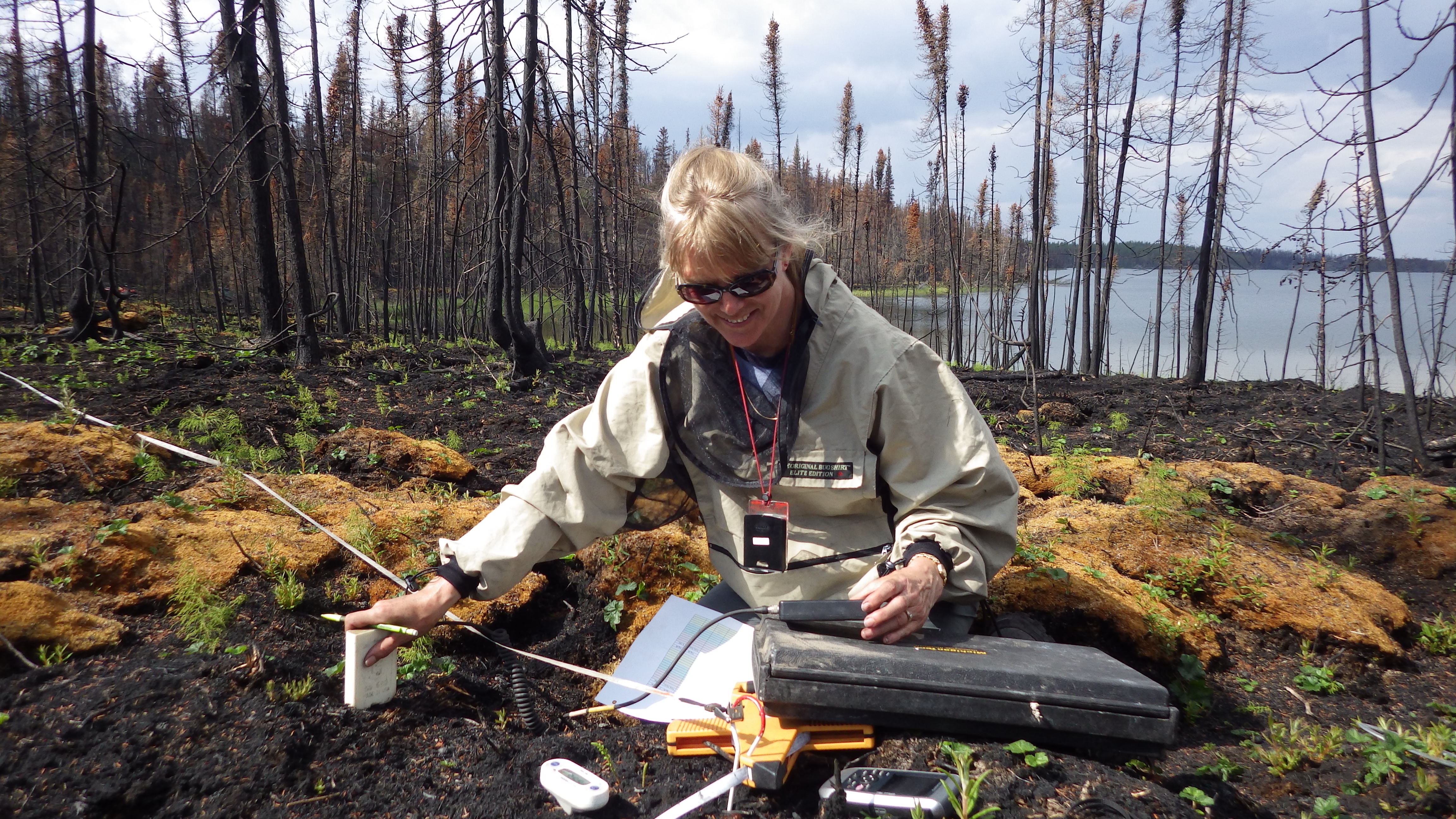
Laura Bourgeau-Chavez, senior research scientist at Michigan Tech Research Institute
Dr. Bourgeau-Chavez is available to speak to the use of remotely sensed data from radar, lidar and multispectral sources as well as field ecology. A huge part of understanding remote sensing is collecting data in the field to scale of what we see on the ground to the satellite observations.
Bourgeau-Chavez uses remote sensing to understand and characterize landscape-scale ecological and hydrological changes in forests and wetlands from the tropics to the arctic. In particular, she has been studying the effects of wildfire on boreal landscapes and resulting carbon emissions for nearly 30 years, and most recently has focused on peat-rich bogs and fens that are burning. Bourgeau-Chavez also uses synthetic aperture radar to map and monitor soil moisture and inundation for a variety of hydrological applications including fire danger predictions.
Contact:
Laura Bourgeau-Chavez
Liza Jenkins, research scientist and remote sensing expert at Michigan Tech Research Institute
Dr. Jenkins has been studying landscape change in northern Alaska and Canada with a particular emphasis on wildfires, vegetation and hydrology. Climate warming in high northern latitudes is occurring at almost twice the rate of global warming and climate related ecosystem alterations are only expected to intensify.
Dr. Jenkins’s uses both electro-optical and synthetic aperture radar satellite data in her research to go beyond what we can see with the human eye. Radar data allows us to see the forest for the trees — to look at moisture and biomass changes in addition to changes in green vegetation.
Many factors affect what areas are susceptible to wildfires and how the landscape recovers post fire, so advanced tools are needed to study our environment from a systems perspective. Dr. Jenkins can speak to the importance of time series analyses to detect subtle changes that can be precursors to large landscape-scale shifts. Satellite remote sensing is a tool that allows us to extend our on-the-ground observations over space and time to gain understanding of our environment.
Contact:
Liza Jenkins
Evan Kane, associate professor and soil carbon storage expert at Michigan Technological University
Dr. Kane has been studying the effects of wildfires in conifer forests of the Canadian and Alaskan boreal and arctic forests in the wake of the extreme wildfires in recent years.
His research centers on the observation that while some ecosystems were thought to be resistant to burning — particularly peatlands and lowland conifer forest — in fact, these ecosystems do burn in large fire years, releasing incredible amounts of sequestered soil carbon into the atmosphere.
Climate extremes—including longer periods of drought and also more intense precipitation—have become the rule and not the exception in the Pacific Northwest, western Canada, and boreal and arctic Alaska.
For example, nearly four million hectares burned in wetlands of western Northwest Territories in 2014 to 2015, and the 2016 Horse River fire in Alberta (3.4 million hectares) was the most expensive natural disaster in Canada’s history.
These patterns are certainly translatable to the fires occurring here in the contiguous U.S., with extensive wildfire in western conifer forests displaying very different behavior than previously seen.
Contact:
Evan Kane [email protected]

