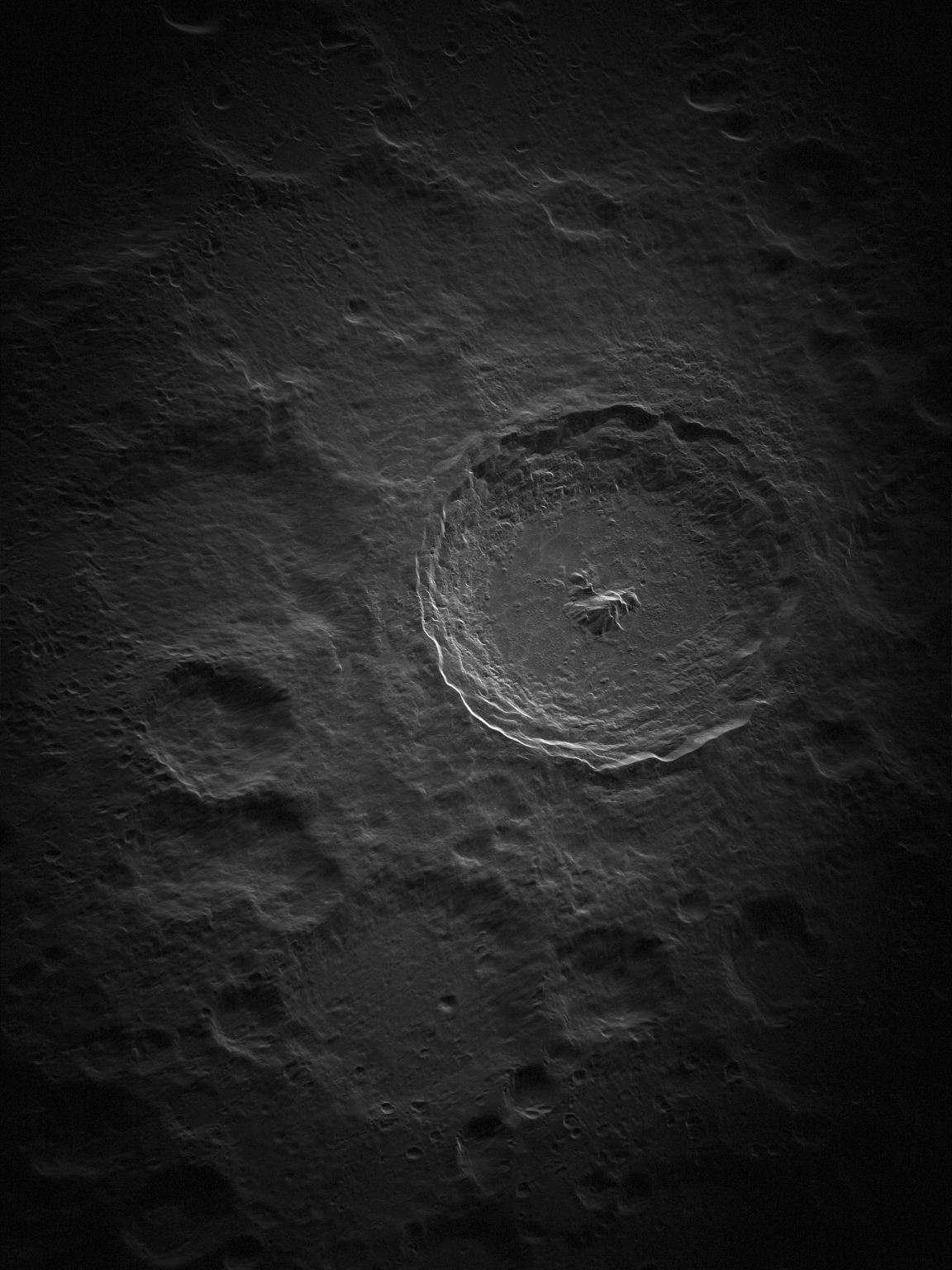
How does ground-based astronomical radar expand our understanding of the Universe? By allowing us to study our nearby Solar System, and everything in it, in unprecedented detail. Radar can reveal the surface and ancient geology of planets and their moons, letting us trace their evolution.
Tag: Radar
TRIAD Streamlines Edge Processing of Data in Phased-Array Antennas
As the number of elements on phased array antennas continues to grow, so does the volume of data that must be processed. To address this, researchers have developed a new approach to process that data closer to where it is generated – on the antenna subarrays themselves.
New Insights on the Prevalence of Drizzle in Marine Stratocumulus Clouds
Detecting drizzle in its early stages in marine stratocumulus clouds is important for studying how water in clouds becomes rainfall. However, detecting the initial stages of drizzle is challenging for ground-based remote-sensing observations.
Complex subsurface of Mars imaged by Chinese rover Zhurong
Ground-penetrating radar from China’s Martian rover Zhurong reveals shallow impact craters and other geologic structures in the top five meters of the red planet’s surface.
Radar gets a major makeover
Researchers at Sandia National Laboratories are working to replace legacy analog radars commonly used by the military with a new, digital, software-defined system called Multi-Mission Radio Frequency Architecture.
ORNL to partner with University of Oklahoma
The Department of Energy’s Oak Ridge National Laboratory and the University of Oklahoma, known as OU, recently executed a memorandum of understanding to officially recognize their partnership in pursuing shared research and development goals.
Moon’s Tycho Crater Revealed in Intricate Detail
The National Science Foundation’s Green Bank Observatory and National Radio Astronomy Observatory, and Raytheon Intelligence & Space have released new high-resolution images of the Moon, the highest-ever taken from the ground, using new radar technology on the Green Bank Telescope (GBT).
Professor engineers radar tools to monitor space weather
David Hysell, Professor of Engineering at Cornell University, is using funding from the National Science Foundation (NSF) to develop new radar tools and techniques for monitoring space weather, through both upgrades to the world’s largest radar and the creation of a new radar system at Cornell.
Upgraded radar can enable self-driving cars to see clearly no matter the weather
A new kind of radar could make it possible for self-driving cars to navigate safely in bad weather. Electrical engineers at the University of California San Diego developed a clever way to improve the imaging capability of existing radar sensors so that they accurately predict the shape and size of objects in the scene. The system worked well when tested at night and in foggy conditions.
Virginia Tech entomology expert is available to discuss the dragonfly migrations that some say are appearing on weather radars
Though dragonflies annually migrate south search of warmer waters to lay their eggs, they seem to be doing so in much larger numbers this year, a Virginia Tech expert said. Their swarms have been so large that meteorologists have said…
Many uses for high-frequency radar in the Great Lakes: warning ships, tracking spills, monitoring algal blooms
Lorelle Meadows is available to discuss high-frequency radar capabilities in freshwater applications and the importance of remote sensing in the Great Lakes. Lorelle Meadows is the dean of the Pavlis Honors College at Michigan Technological University and an oceanographer by…